If they don’t cook themselves, Germans like to go out to eat. However, the German market for restaurant delivery service is lagging by international comparison: If you examine the number of search inquiries per resident, Belgium is number one among the top 10 delivery countries, followed by the USA and Australia. Germany isn’t even among the top 10. But the number of order requests has climbed around the world in recent months. On the one hand, there weren’t many alternatives during lockdowns. On the other hand, convenience food, that is, pre-prepared foods where the food producer does some of the works, is on the rise: And delivery service as a real option for ready-to-eat food has made its way into consumers’ consciousness. Statistics show an increase in annual sales per person since 2017 of more than fifteen Euros, which will rise to EUR 81.6 by 2024.
Of course restaurants suffered massive losses due to the coronavirus, while providers’ competition for delivery service has grown stiffer. Losses due to closed restaurants cannot necessarily be balanced out by delivery service. So how important is it? And what role do spatial data play here?
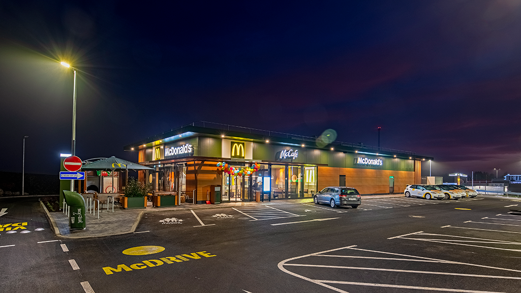
Rudi Röder, Director Delivery at McDonald’s Deutschland LLC, answers these and other questions in the following interview. He has worked for this world-renowned company for 25 years; it has approximately 1,450 restaurants in Germany and thus counts as the country’s largest restaurant chain. Rudi Röder has been responsible for delivery service since 2017.

What do spatial data do for delivery service?
Of course spatial data are indispensable to find out where offering delivery service for our restaurants makes sense. To decide whether or not to offer delivery, we have to be familiar with where the restaurant is located. Here, the focus is on the nearby population. This approach assumes a completely different group of customers than when setting up other services. Spatial data provide valuable information. For example, they tell us about the anticipated order potential, which is important since we need to have appropriate personnel and vehicles available at the restaurant.
Are there special insights about demographic aspects in your industry? Single households, age of the consumers?
McDonald‘s has an extremely varied guest structure. On the one hand, families represent great potential, but teens & tweens and working adults are also significant target groups. Our guests grew up with us. This year, there have been McDonald‘s restaurants in Germany for 50 years!
Generally in high-density urban areas, the percentage of single households that use our service is rising. But they tend to buy less than families do, so sociodemographic data are an important tool for defining the significance of influencing factors such as household or age structure, etc. Your spatial data tool offers the opportunity to analyze such values precisely. We examine the so-called “residential population” since food is mainly delivered to people’s homes. This population therefore makes the greatest use of the delivery service.
What are the effects of the Corona pandemic on your business potential and business development?
We are pleased with how successful we are in the restaurants where we offer delivery service. And we see enormous growth potential here: Not just due to market growth, but especially due to nationwide coverage. Due to the presence of a McDonald’s delivery service. The more guests we can offer delivery service, the more market potential there is for us to exploit.
Have the sociodemographic aspects also changed during the Corona era?
In the initial phase, when many employers and employees were changing to remote work, of course there was increased demand for delivery service. But despite the loosening of restrictions and opening of restaurants since then, demand for delivery service has remained constant: Our guests enjoy the option to order their favorite McDonald’s products and have them delivered quickly and easily. It’s interesting to analyze now whether correlations of sociodemographic aspects and specific customer behavior have shifted due to Corona and how we need to consider this in our planning, for example.
To what extent can planning for delivery service in your industry be optimized with spatial data?
With regard to location planning for delivery service, two aspects are important: Speed and quality! To optimize these, first we drew polygons around each restaurant: These show how far a delivery driver can go in a given time and therefore, what the size of the delivery area should be. Based on the polygons calculated, we can determine the number of residents. Initially, this was a service provided by DDS GmbH, a subsidiary of the PTV Group. Then we calculated the drive-time polygons for deliveries by bicycle, car, and scooter. This suggested the specific potential for delivery areas depending on different vehicle options. How many people can I reach given my internal standards; that is, within my defined service and quality criteria? The second step was the capacity planning: What delivery service capacities, that is, drivers and vehicles, would I need on-site in order to be able to guarantee these standards for all orders all the time? Spatial data make an essential contribution to answering these questions.

What solutions are best suited for answering these questions?
Of course you need a professional GIS tool; that is, software for geographic information systems. This and a package with appropriate spatial data enabled us to analyze the locations according to sociodemographic criteria. What we initially commissioned as a service from DDS/PTV is something we do ourselves in the meantime. The PTV consultants’ advising and training really helped us a lot. Now, the well-structured manual helps us with our daily work. I like working with PTV. And support is even very good for special inquiries that extend beyond the normal use of the system. (Röder grins.)
What will the development of the delivery market look like in the future?
For McDonald’s, I see great potential in nationwide presence, that is, growth through existing restaurants that will also offer delivery service. That’s why I am looking forward to continuing our cooperation with PTV in the next few years.
Your conclusion?
Decisions for guests and for the company must be made on a solid basis. The goal is quick and friendly service, outstanding quality products, and economic efficiency. In this context, the solutions used and your advising give me a good indication of the capacities and figures we have to prepare for. In summary: I feel like I am in good hands with you!